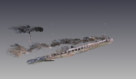
Laser Scanning at Portus
In October of 2012 myself and Gareth Beale were in Portus collecting a series of datasets, these included a series of high resolution 360 panoramas around the site which Gareth has processed and a full laser scan model of the Palazzo Imperiale. The panoramas have been explained in a previous post by Gareth and after several months of processing the data, I am able to present some of the completed work through this blog.
The purpose of the terrestrial laser scan work was to complete a series of high resolution models of standing architecture found at Portus, previous work had already been completed by Geography department at the University of Southampton in 2009 where the Cistern block and steps were recorded using a Leica ScanStation 2, this was in addition to the triangulation laser scanning completed by the Portus team from both Southampton and the BSR and several photogrammetry models. The site has since dramatically changed as has the technology hence the need to record new features at a higher resolution, allowing for an archive of the standing architecture.
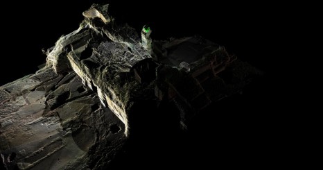
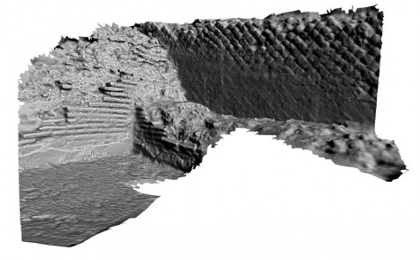
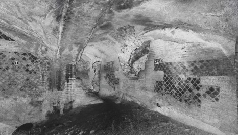
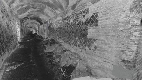
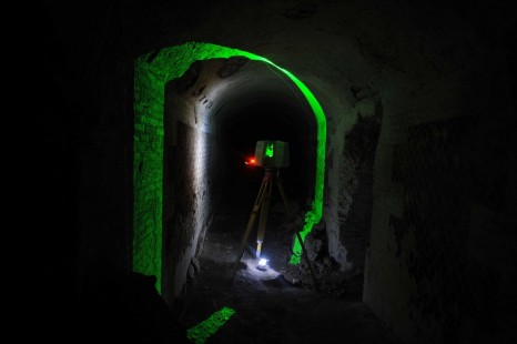
The main focus for the laser scanning work of 2012 was the Palazzo Imperiale which included the continuation of the cistern block, the Terraza di Traiano, and some additional rooms near to the Trajanic harbour. The area was of particular interest to the research team as the Palazzo Imperiale is currently being excavated at the front and the interior is at risk of collapsing. The laser scanning of the interior of this important building would then provide a great resource to the team as the area is usually off limits due to the possible collapse and darkness associated with being underground. The laser scanner used was a Leica ScanStation 10, which was an updated version to the one used previously, it offers a resolution of 1mm up to 100m and utilises pulse scanning which allows for scanning to be completed in both light and dark environments. This scanner was hired from Optical Survey who are closely related to the Portus project.
Over a twelve day period a series of 77 scans were completed set at 1cm accuracy at the furthest position away from the scanner (Scans focused on specific areas and have a higher resolution of points the nearer to the object the scanner is) and incorporated RGB values per point where possible. The scanning time varied depending on the amount of area recorded and how far this was from the scanner, as the further away the object was, the longer the scan time as the scanner believes that it will have a constant distance to follow. The scanning caused very little problems as the only thing needed to do was to set it up with the area needed to scan and to colour calibrate the camera so that the RGB values could be collected. The scanner would then scan the area of interest and the only further thing needed was to capture the overlapping targets which would be used within the post-processing of the data. The only problems that were encountered included hard to see targets and people walking in the scan area (Excavation on the exterior of the Palazzo Imperiale was on-going) but these were eradicated by the use of a torch in the dark and post processing the extra data out.
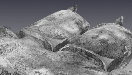
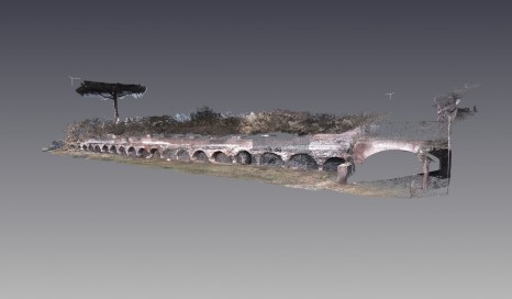
Having completed the necessary data collection the next stage was to clean the raw data and process them into one complete model. Normally a survey of the station positions would have been recorded and entered into the scan data but time was unavailable to do this. As a result the individual scan data had no spatial correlation and had to be positioned into the correct position with it later being geoprocessed. Cyclone was first used to process the data but problems were encountered with the availability of the necessary software and as such the scan data was instead processed with 3dReshaper and Pointools. The following is then an example of the work completed highlighting the potential that laser scanning offers within the documentation of archaeological remains. The laser scan work remains on-going with the end result being a full virtual model of the standing archaeology found in the local area that can be used within our investigation of these important Roman site.
