Early Plans
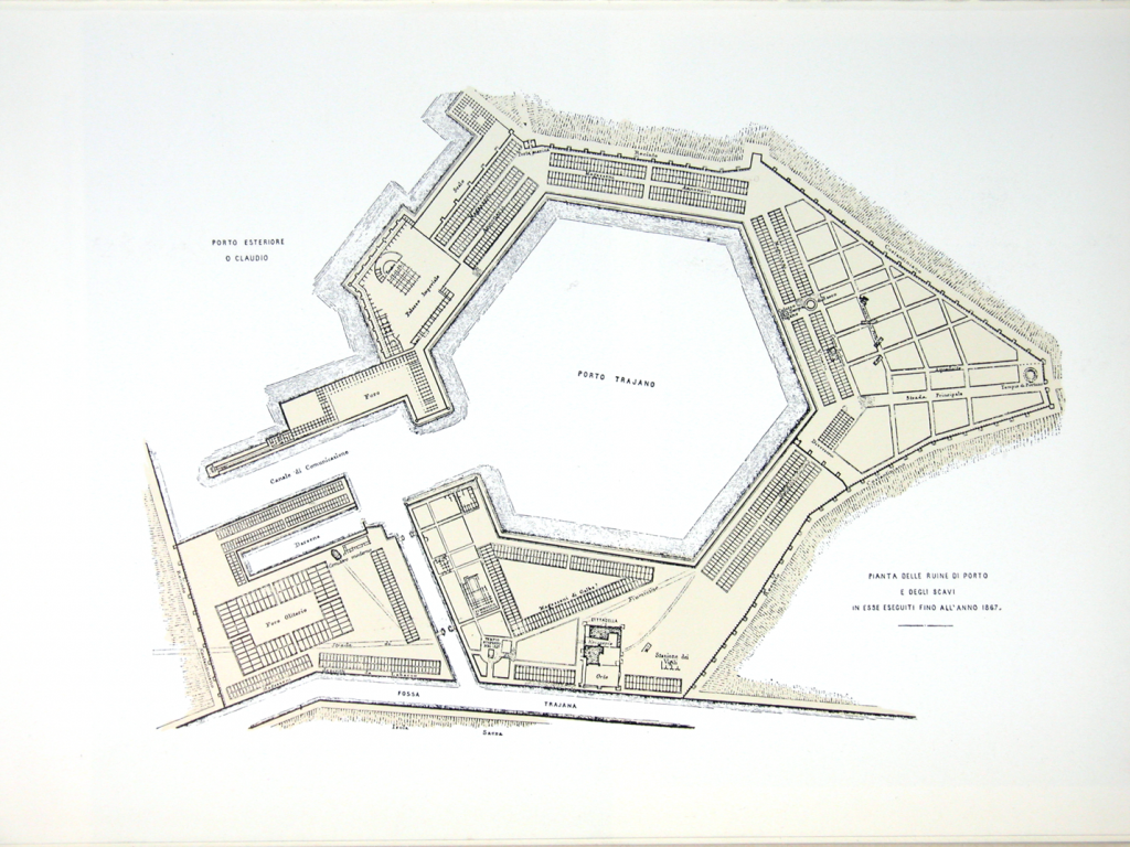
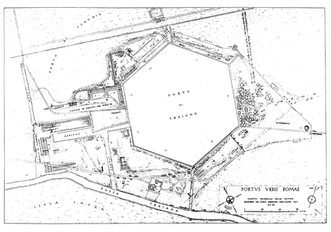
A series of antiquarian and archaeological studies have been conducted at Portus over the past 500 years. The site was first illustrated in the 16th century with the representations of Pirro Ligorio, Du Peyrac and Antonio Dante, and later figured in numerous engravings and watercolours of the of the 17th and 18th centuries. More analytically-based work did not begin until the 19th century. Of particular importance today are a first archaeological plan of Portus published by Rodolfo Lanciani in 1865, and a more reasoned plan and study published by Italo Gismondi and Giuseppe Lugli in 1935. More recently, Otello Testaguzza mapped the remains of the Claudian basin (1970), while the Soprintendenza per in Beni Archeologici di Ostia undertook detailed topographic studies, some excavation, and on-site conservation between the early 1980s and the present day.


