Methods
An Interdisciplinary Research Environment
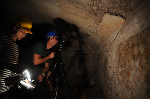
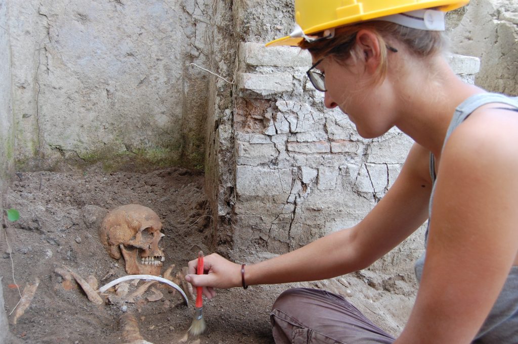
The great extent and complexity of the site and surrounding landscape of Portus requires a multi-faceted approach to their study. It is clear that while survey techniques are very useful in providing important information about the spatial layout of the site and aspects of its complex structural sequence, the best results are obtained when they are used in concert. Thus following the overall geophysical survey at the site between 1998 and 2004, the Portus Project team from 2007 onwards has applied a range of different methods of ground-based survey to assess the nature of archaeological remains, together with remote sensing approaches. At the same time targeted large-scale open-area excavation has played a key role in clarifying our interpretation of these results, providing precious information about structural sequences and construction techniques, as well as large quantities of ceramics and environmental material that inform us about commercial connections between the port and other parts of the Mediterranean. Computation has been at the heart of attempts to integrate data and interpretation, and to communicate the complexities of the site to a wide audience.

The complexity and richness of the archaelogical site of Portus qualified it well for the use of scientific techniques as well as those more traditionally associated with the Humanities, thereby promoting the development of an inter-disciplinary approach to studying the past. Analyses of sedimentary deposits and micro-fauna from deep cores drilled into the Claudian basin, quays and canals have taught us much about the use of water-spaces at Portus. Its environment, by contrast, has been studied by means of carbonized seeds and ancient pollen, while ceramics have been tracked to their widely differing places of origin across the Mediterranean by analysing the petrology of the minerals found within their clay matrix, as well as their shapes. Other scientific approaches that were used on the project included marine and terrestrial geophysical survey, computer visualization of project results and biological profiling of ancient skeletons.

