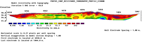
Electrical Resistance Tomography (ERT)
ERT is a technique for producing “slices” through undisturbed archaeological deposits to a considerable depth. Conventional resistivity measures the electrical conductivity of the soil between two probes. This conductivity changes according to the archaeological materials present; for example, a wall might lead to low conductivity. ERT uses an array of probes and compares the resistance between each and every pair in order to produce a cross-section or ‘pseudo’-section through the ground. It has proven particularly important at Portus since the early phases of standing buildings are buried to a depth of at least 3.5m and, in combination with GPR, ERT has been able to tell us something of the layout of these structures.
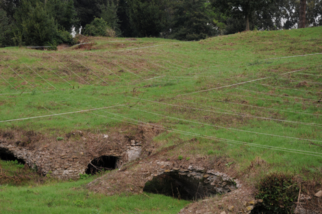
Photo: Hembo Pagi / ACRG