Location
Today, the site of Portus lies 35km south-west of Rome, just south of the Aeroporto Internazionale di Leonardo da Vinci, and a few kilometers to the north of Ostia Antica. It is situated c. 3km inland from the modern coastline on account of the progradation of the Tiber delta since the late antique period. In antiquity, the port opened on to the Tyrrhenian sea, close to a key bend in the Tiber and to the west of the Campus Salinarum Romanarum.
Portus was established by the emperor Claudius in AD 46, and was probably inaugurated by the emperor Nero in AD 64. This initial port comprised one large 200 Ha basin with a massive lighthouse (Pharos) and a smaller 2 ha basin, which were connected to the Tiber by one internal canal and another one (the so-called Fossa Traiana or Canale di Fiumicino) which ran bgetween the sea and the Tiber. The port was greatly enlarged by the emperor Trajan between AD 110-112 and 120 to include a third basin of 32 Ha which was hexagonal in shape, and is still visible from the air. It was connected to the Tiber by a third canal, while a fourth canal ran southwards from Portus across the island of the Isola Sacra in the direction of Ostia. The port was also connected to Rome by the Via Campana/Portuensis, and was supplied with fresh water by an aqueduct whose source lay near modern Ponte Galeria. At its height, the port included many warehouses, as well as an imperial maritime villa, a possible shipshed and a range of commercial buildings, temples and an aqueduct: it was served by cemeteries, the best known of which lies on the Isola Sacra. Portus served as the principal maritime port of Imperial Rome down until at least the 6th c AD.
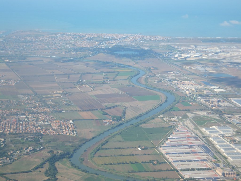
Portus looking westwards towards the Tyrrhenian sea 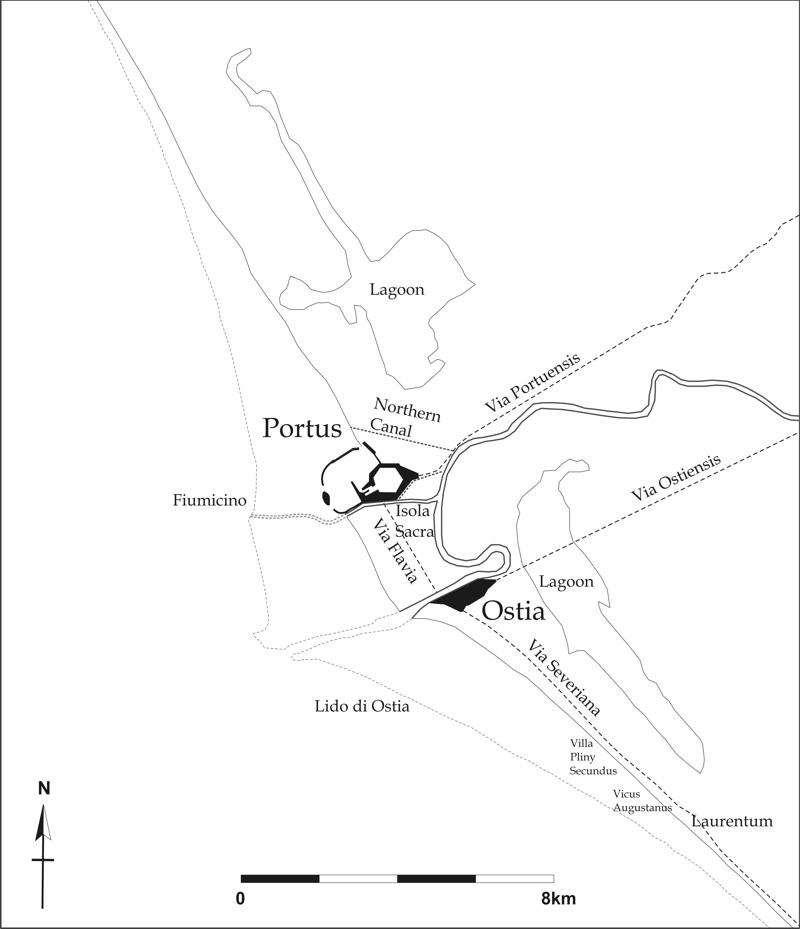
Location of Portus in antiquity