3D Modelling
The Portus Project 3D archive was created using commercial CGI tools such as 3DS Max and Vray. Since 2011, models have been created in iterative stages and as technology has improved, features and scene management additions have provided both better techniques and tools to include detail in the final port file.
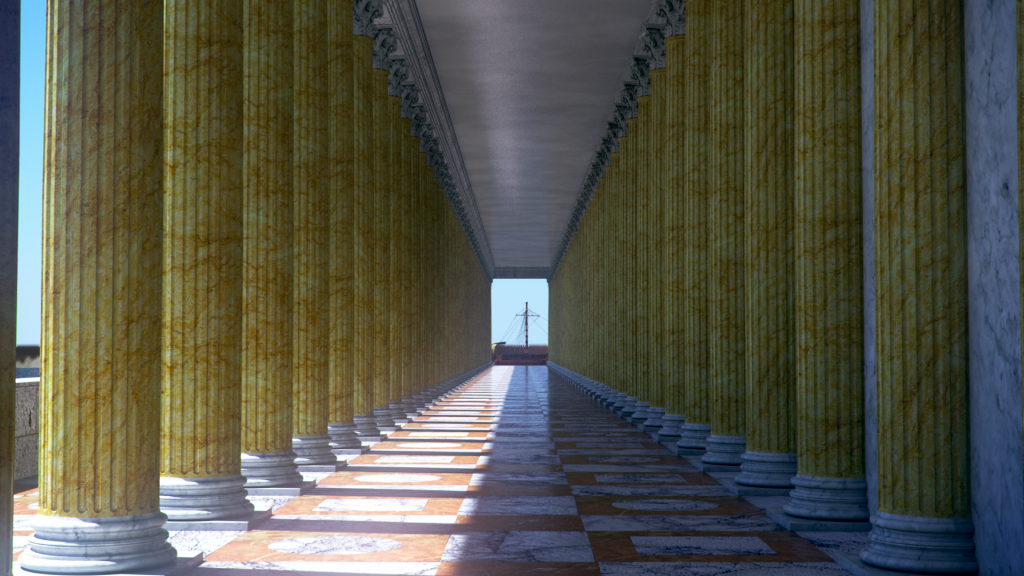
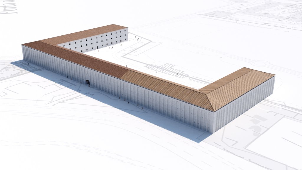
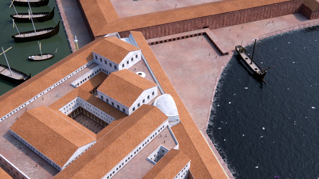
Starting with individual buildings and working out into a larger area, the model was pieced together over time as excavation data and research filtered through. This means that many of the structures serve as individual projects within their own right and have been built to offer up close detail. Material such as marble, stone and brickwork have been accurately created using the closest example or photographs from existing references on site.
Elements like boats, people and the larger framework of the surrounding area have been built using plugins for 3DS Max such as Itoo’s Forest Pack and Railclone, built to handle the scattering and instancing of hundreds and thousands of individual components. This allows for the inclusion of a myriad of different features that bring the model to life, such as individual tiles, a busy port scene and a variety of statues, columns and architectural components.
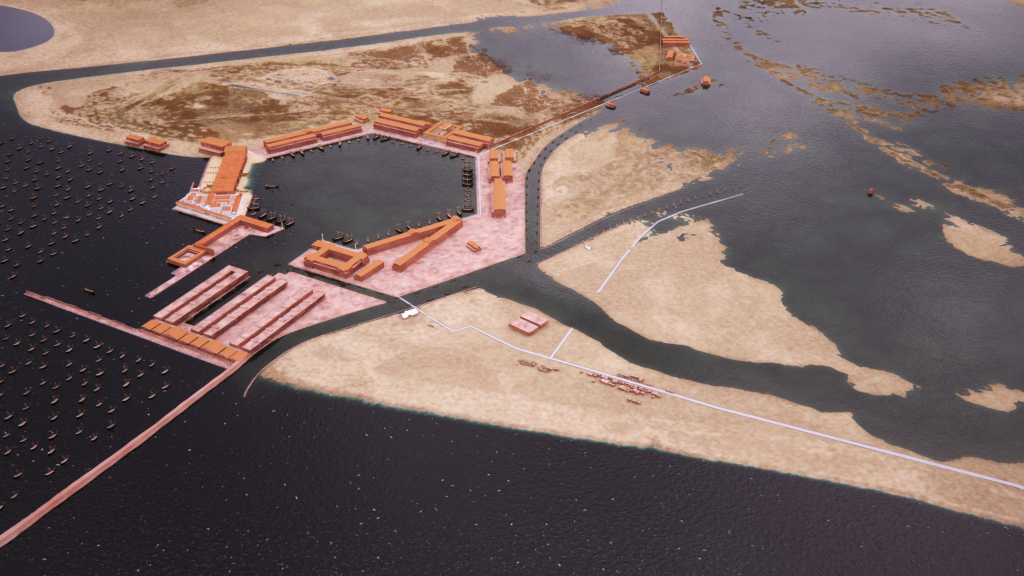
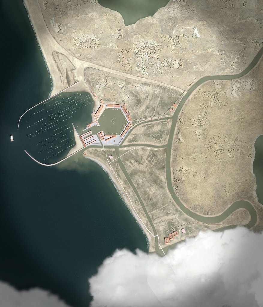
Zooming out into the wider landscape, shots that show the relationship between Portus and its surrounding landscape were constructed using the model as a base and paired with matte painting techniques to construct considerably larger coverage than the base model might allow for on its own.
Moving forward, the flexibility of the model allows for interesting questions to be considered and then applied using the CGI as a base. Thoughts about how light might influence spaces, or how flooding could affect the harbour basins and the surrounding areas are good examples of ways the digital environment can be used to offer a reflexive methodology so that it offers more than simply a tool for visual reconstruction.
Images by Grant Cox/Artas Media

