Currently browsing tag

UAV

Aerial Photogrammetry at Portus

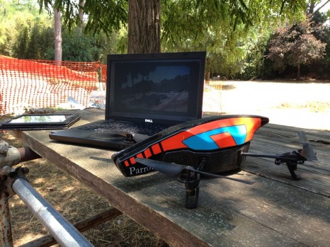
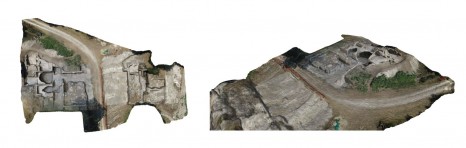
In the previous post by Stephen Kay on Unmanned Aerial Vehicles at Portus he discussed the work that has been completed on site in terms of capturing aerial photography. Aerial photography plays a significant part within the understanding of any archaeological site and this is especially true at Portus. Continue reading →

Unmanned Aerial Vehicles at Portus

Since the start of excavations by the Portus Project in 2007, aerial photography has played an important role in the recording, analysis and presentation of the research. The ability for the archaeologist to have a bird’s-eye view of an excavation gives the opportunity to see the plan of structures, their relationships with each and alignments which are not visible at ground level. Continue reading →