Currently browsing

Page 5

Reconstructing Portus – Rome’s Lost Empire

Why produce computer models? 
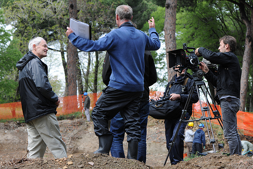
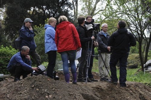
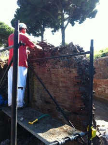
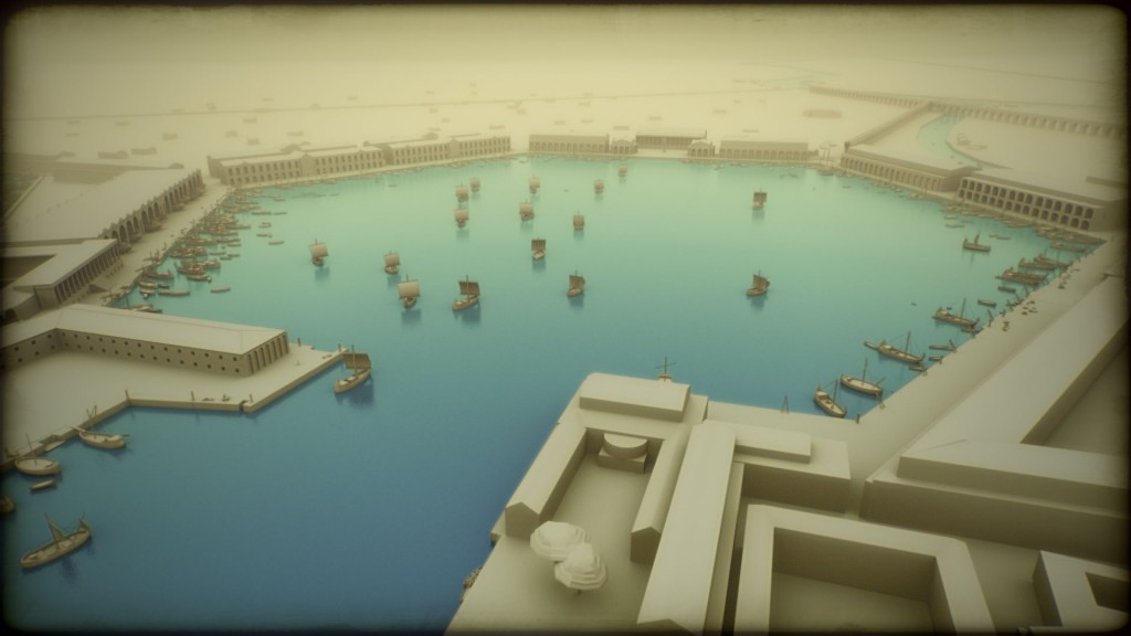
We have been producing computer graphic representations as part of our work at Portus since 2007. These are used for a number of purposes. Firstly, they help us to bring together all the many forms of digital data gathered on site, through survey, geophysics, photogrammetry, laser scanning and other tools. For example, we are combining three-dimensional geophysics with laser scans and excavated sections to understand the development of the Building 5. Continue reading →

Plans for resuming joint excavation

I have just been down to Portus today to discuss plans for resuming our joint excavation at the Palazzo Imperiale with the Soprintendenza Speciale per i Beni Archeologici di Roma (Ostia Antica) in January. I hope that the results from this coupled with the screening of the BBC1 programme Rome's Lost Empire on Sunday will remind people of the importance and richness of this unique site. Continue reading →

Rome’s Lost Empire

A documentary called Rome's Lost Empire featuring our work at Portus funded by the AHRC and the Soprintendenza Speciale per i Beni Archeologici di Roma (Ostia Antica) was broadcast on BBC One in the UK at 8:40 pm on Sunday 9th December 2012. You can watch it now on BBC iPlayer from within the UK. If you are interested in behind the scenes information on the computer graphics on the programme and how it benefits our research read the Reconstructing Portus – Rome’s Lost Empire post. Continue reading →

Funding for multidisciplinary field school at Portus

We have been awarded funding from a Student Centredness fund grant to create a unique field school at Portus that will provide the context for novel learning experiences to students from across the University, including an on-line infrastructure to build a community around a period of archaeological fieldwork in Italy. It will also benefit from a related SC project aimed at providing virtual access to the Portus fieldwork experience. Continue reading →

Photographing Portus

Photography has been extremely important to the Portus Project. The photographic record which has been created as we have been working on the site allows us to re-visit and interpret the excavations at many levels. As well as a vast archive of photographs depicting excavated contexts, sections and objects we also have a substantial collection of images which depict the day to day life of an archaeological excavation. Continue reading →

Laser Scanning at Portus

In the past week myself and Gareth Beale have spent time capturing the subterranean areas of  the Imperial Palace at Portus. We have been trialing the use of the Leica Scan Station C10 for archaeological documentation and the results so far appear very impressive. All archaeological remains are subject to constant deterioration, this is especially true of substantial architectural remains such as the Imperial Palace. Continue reading →

Microsoft Research and UC Berkeley Collaboration – Portus Chronozoom

We have been working with colleagues in Microsoft Research and at UC Berkeley to create Chronozoom timelines that describe Roman archaeology, with a view to populating a timeline for the Roman world in due course. Our first pilot has been at Portus, where we have charted the creation and eventual abandonment of the site. We have only just started to develop the Portus Chronozoom and there is much more multimedia content to add but please do have a look, and at the wider Chronozoom project. Continue reading →

Portus, the Via Campana/Portuensis and Rome

My work on the Portus project concentrates on the surroundings of the port and aims at gaining a better understanding of the nature of connections between a port and associated hinterland. I use an interdisciplinary research design that integrates the traditional archaeological approaches to studying trade through the distribution of ceramics, and epigraphic-based approaches to study of the origin and movement of individuals, with help from the IT-based methodologies of landscape archaeology. Continue reading →

Building survey

Ahead of the restoration work, that has now moved to another wall within the excavation area, we undertook further building survey of the standing structures. The focus of today's work was to plan the top of a long wall (c.8m), ahead of its restoration, that leads into the area of the latrines. Continue reading →